
Angels Landing is 5.4 miles round trip. The Echo Canyon Trail up Camelback Mountain in Phoenix is about 2.5. Distances that short get a trail filed under easy, and that label is a big reason the most dangerous easy hikes in North America keep turning up in rescue reports. It brings in visitors who never looked at the exposure, the heat or the weather.
Hard, remote routes tend to screen people out before the trailhead. A trail with a famous photo and a short mileage doesn’t. Grand Canyon National Park alone rescues more than 250 people a year, and its own day hiking page states there are no easy trails into or out of the canyon.
Every trail below is worth doing. Each one has a hazard its distance hides, and a specific way to handle it. Permits, closures and conditions change, so check the park’s own page the week you go.
| Trail | Round trip | Gain | Permit | Main hazard |
|---|---|---|---|---|
| Angels Landing, Zion (UT) | 8.7 km (5.4 mi) | 450 m (1,488 ft) | Lottery, past Scout Lookout | Exposure on the chains |
| Half Dome, Yosemite (CA) | 22.5 to 26 km (14 to 16 mi) | 1,460 m (4,800 ft) | Lottery | Wet granite, lightning |
| Bright Angel to the river, Grand Canyon (AZ) | 12.5 km (7.8 mi) each way | 1,340 m (4,400 ft) back up | Not for day hikes | Heat on the climb out |
| Mount Washington via Tuckerman Ravine (NH) | 13.5 km (8.4 mi) | 1,300 m (4,250 ft) | None | Summit weather |
| Longs Peak, Keyhole Route (CO) | 23.5 km (14.5 mi) | 1,550 m (5,100 ft) | Not for day climbs | Exposure, loose rock, storms |
| Camelback Mountain, Echo Canyon (AZ) | 4 km (2.5 mi) | 380 m (1,250 ft) | None | Heat on steep rock |
Six trails and what each one hides
Angels Landing, Zion (Utah)
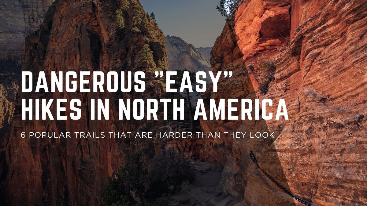
The last half mile runs along a narrow sandstone fin with chains bolted into the rock and long drops on both sides. It is walked by crowds with every level of experience, often in both directions at once. Hikers have died in falls here more than once in the past decade, and since 2022 the park has required a lottery permit to go past Scout Lookout, to control crowding on the chains.
Treat it as an exposed scramble, not a day hike. Skip it in wind, rain or ice. Scout Lookout, at the start of the chains, needs no permit and still gives you most of the view.
Half Dome cables, Yosemite (California)
A 14 to 16 mile day with 4,800 feet of gain before you touch the cables, then a steep pitch up bare granite with a cable in each hand. The cables usually go up the Friday before Memorial Day and come down after the second Monday in October, and you need a lottery permit.
The park’s Half Dome page is blunt about the pattern: nearly all fatal falls from the cables happened on wet rock, and the summit is a dangerous place in a lightning storm. Rangers assist hundreds of people on this trail every summer. If clouds are building or the rock is damp, turning back is the correct call, even though it will feel wrong after the long approach.
Bright Angel Trail, Grand Canyon (Arizona)
The canyon runs the usual mountain day upside down, which we covered at length in our rim to rim training guide. You start downhill, fresh and cool on the rim. Every easy step down is one you owe back uphill, in heat that climbs the lower you go. Summer highs near the river regularly pass 40 C (104 F).
The park’s own brochure says not to attempt rim to river and back in one day, especially May to September, and to expect the climb out to take twice as long as the walk down. Set your turnaround before you leave the rim and treat summer midday in the inner canyon as closed.
Mount Washington (New Hampshire)
At 1,917 meters (6,288 feet), Washington has the longest death toll on this list: more than 160 people since records began in 1849, on a mountain with a road and a staffed weather observatory on top. Several major storm tracks meet over the Presidential Range, and the observatory recorded a 231 mph gust in April 1934, a world record for more than 60 years.
The trailheads sit in green forest. Above treeline, the summit cone can hold fog, ice and hurricane force wind in any month. Pack for the summit forecast, not the parking lot, and treat treeline as the place you decide whether to keep going.
Longs Peak, Keyhole Route (Colorado)
Longs sits a couple of hours from Denver and shows up on plenty of Colorado bucket lists, so it keeps drawing people who expect a walk up 14er. The park’s wording leaves no room: “The Keyhole Route is not a hike.” Past the Keyhole it’s sustained Class 3 scrambling on exposed ledges and loose rock, where an unroped fall would likely be fatal, with afternoon thunderstorms on top.
Starts between 1 and 3 am are normal to be off the summit before the storms build. If scrambling on exposed rock is new to you, climb the walk up 14ers first and come back for Longs when it’s a skill you already have.
Camelback Mountain (Arizona)
A short, steep, hands on scramble in the middle of metro Phoenix, minutes from resort hotels and hiked year round by visitors on vacation. Steep rock plus desert heat plus “it’s only a couple of miles” keeps Phoenix Fire crews busy on this mountain through the summer. The city now closes the Echo Canyon and Cholla trails from 11 am to 5 pm on extreme heat warning days.
Go at dawn, carry more water than seems reasonable for 2.5 miles, and skip it entirely on a heat warning day.
How to prepare for dangerous easy hikes
One routine covers all six, and it takes about ten minutes the week before.
- Read the park’s page, not the reviews. A star rating tells you the view is good. The official trail page tells you about the chains, the heat, the storm pattern and the permit.
- Check conditions and permits the week you go. Cables down, trails closed for heat, lottery dates missed. Every trail on this list has turned people around in the parking lot.
- Start early. Heat, afternoon storms and crowding on exposed sections all shrink before 9 am, and a headlamp costs less than any other piece of safety gear you own.
- Set a turnaround rule at the car. A time, a weather condition or a water level, decided while your judgment is fresh and before summit fever has a say.
- Pack for the worst conditions the trail can produce. Layers for a summit that looks nothing like the trailhead, more water than the mileage suggests, and a light for the early start. A short trail earns a small pack, not an empty one.
Fitness sits underneath all five. A climb out of the Grand Canyon or a ten hour Half Dome day is much safer on legs that have done it in training, and our honest fitness self check is a good place to find out where you stand.
Of the six, Longs Peak is the one we’d tell a strong hiker to wait on. The others can be managed with timing, water and a turnaround rule. The Keyhole needs a scrambling skill set, and the first ledge above a long drop is the wrong place to discover you don’t have it.
